|
芝浦工業大学 工学部 土木工学課程 中川 雅史 研究室 = ジオインフォマティクス研究室 Program of Civil Engineering, Shibaura Institute of Technology NAKAGAWA Masafumi Lab. = Geoinformatics Lab. |
|||
| [HOME] |
[Lab members] |
[forLabMember] |
[Photos] |
| [Researches] |
[Papers] |
[Log] |
[Visiting SIT] |
| ■ INFORMATION |
- 2025/06/28 Lab photo | ||
| ■ STUDENTS 2026 |
- 石塚健太 / Kenta Ishizuka (M2) - 原田周 / Amane HARADA(M1) - 高草木ひかる / Hikaru Takakusaki (B4) - 柏木健翔 / Kento Kashiwagi (B4) - 船木誠仁 / Masato Funaki (B4) - 岡田朋也 / Tomoya Okada (B4) |
- 石渡誠 / Makoto Ishiwata (M2) - 永岡拓斗 / Takuto NAGAOKA (M1) - 八代滉彦 / Hirohiko Yashiro (B4) - 木村真渚人 / Manato Kimura (B4) - 板垣練 / Ren Itagaki (B4) - 廣田悠輝 / Yuki Hirota (B4) |
|
| ■ DOCUMENTS FOR STUDENTS |
(B1) Practice on Excel and CAD:土木情報処理 - This course will consist of lectures and practices. - From fundamental theory to practical application, this class covers general calculation and drawing with a Spreadsheet and CAD software. - The candidate will understand and identify the various types of spreadsheets and drawing data. |
(B1) Surveying:測量学 - This course covers the principles of measurements of distances, elevations, and angles. - It also includes basic error theory in measurement and calculations, traverse calculations, and basic principles of surveying and map-making. |
(B2) Applied Surveying:応用測量学 - From fundamental theory to practical application and advanced technologies, this class covers all aspects of Geoinformatics technologies to understand Laser scanning, GNSS positioning, satellite imaging, aerial imaging, Photogrammetry, point cloud data processing, 3D mapping and 3D modeling. |
(B2) Surveying Practice:測量学実習1・2 - This course covers the principles of measurements of distances, elevations, and angles. It also includes basic error theory in measurement and calculations, traverse office calculations, and basic principles of surveying and map-making. |
(B3) General Lectures of Civil Engineering:土木総合講義 |
(M1) Geoinformatics for Spatial-Infrastructure Development:空間情報構築特論 - This course will consist of lectures, homework, seminars, and workshops. - From fundamental theory to practical application and advanced technologies, this class covers all aspects of Geoinformatics technologies to understand Laser scanning, GNSS positioning, satellite imaging, aerial imaging, Photogrammetry, point cloud data processing, 3D mapping and 3D modeling. |
(B4) Survey Instrument Design:測量器械設計 |
(B3) Seminars on Civil Engineering:土木ゼミナール |
(B1) Freshman Seminar:導入ゼミナール |
(B3) Introduction to Engineering:工学基礎概論 |
(College of Land, Infrastructure, Transport and Tourism) Stereo matching and SfM |
(AIIT, M1) Geoinformatics for Intelligent System:インテリジェントシステム特論 - This course will consist of lectures, homework, seminars, and workshops. - From fundamental theory to practical application and advanced technologies, this class covers all aspects of Geoinformatics technologies to understand Laser scanning, GNSS positioning, satellite imaging, aerial imaging, Photogrammetry, point cloud data processing, 3D mapping and 3D modeling. |
Surveying for Elementary School Students:小学生向け測量実習 |
|
| ■ ADDITIONAL INFORMATION | |||
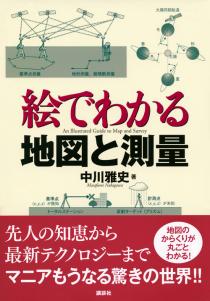 MAP AND SURVEY ISBN:978-4-06-154774-2 Read more.. |
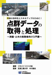 POINT CLOUD DATA ACQUISITION AND PROCESSING ISBN:978-4-88941-141-6 Read more.. |
||
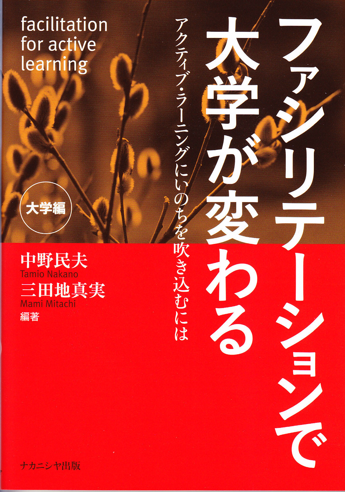 Co-author FACILIATION FOR ACTIVE LEARNING ISBN:978-4-77-951057-1 Read more.. |
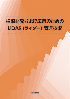 Co-author LiDAR TECHNOLOGIES ISBN:978-4-86502-282-7 Read more.. |
 The 9th Asia-Pacific Conference on Synthetic Aperture Radar (APSAR 2025) "SAR Technology and Applications for Sustainability" 5-9 October 2025, Matsue, Shimane, Japan Read more..  The 46th Asian Conference On Remote Sensing 2025 (ACRS2025) "Harnessing Remote Sensing for Global Sustainability and Innovation" 27-31 October 2025, Makassar, Indonesia Read more..  Domestic conferences for Photogrammetry and Remote Sensing Japan Society of Photogrammetry and Remote Sensing Read more..  Joint Workshop with ISPRS WG IV/7 and WG V/4 INDOOR-OUTDOOR SEAMLESS MODELLING, MAPPING AND NAVIGATION 21(Thu) - 22(Fri) May, 2015 in Tokyo A very big 'Thank You' to all our participants, plenary speakers, paper presenters, sponsors, exhibitors, members of the various organizing committees and everyone! |
[Links]
Shibaura Institute of Technology /
[リンク] 芝浦工業大学 / 土木工学課程 / 学術情報センター / |
| [HOME] |
[Lab members] |
[forLabMember] |
[Photos] |
| [Researches] |
[Papers] |
[Log] |
[Visiting SIT] |
| [取扱説明書] 使用上の注意 / おかしいなと思ったら? / 宴席マナー / ロケーショナルハラスメントについて | |||
+ Latest update: 2026/03/29