|
WEBCON in Asian Conference on Remote Sensing (ACRS) |
|||||||||||||||||||||||||||||||||||||||||||||||
|
Web Contest for students, young researchers, and all makers: We invite proposals for innovative and creative ideas exploring themes such as sustainable development and artificial intelligence (AI) in remote sensing, spatial tion sciences, and geospatial applications.
|
|||||||||||||||||||||||||||||||||||||||||||||||
|
|
|||||||||||||||||||||||||||||||||||||||||||||||
| INFORMATION | |||||||||||||||||||||||||||||||||||||||||||||||
|
A very big 'Thank You' to all our participants in WEBCON13 and ICON. WEBCON14 will be held at ACRS2027 in Thailand. |
|||||||||||||||||||||||||||||||||||||||||||||||
| INTRODUCTION of WEBCON | |||||||||||||||||||||||||||||||||||||||||||||||
|
The WEBCON Organizing Committee invites proposals for innovative and creative ideas exploring themes such as sustainable development and artificial intelligence (AI) in remote sensing, spatial information sciences, and geospatial applications. We welcome submissions from students, young researchers, and all "makers" under the age of 35 who are registered for ACRS. Ideas/Projects should leverage internet-connected devices, digital fabrication technologies, virtual/augmented reality, or other advanced tools to propose smart solutions that address global challenges and help shape the future of sustainability and AI in geosciences. Contest Rules: 1) Submissions may be made individually or in teams of up to three members. 2) After an initial review of proposals, selected applicants will be invited to the final competition. 3) Contestants are responsible for bringing their own laptop computers to present their work. A wireless internet connection will be provided by the organizers. |
|||||||||||||||||||||||||||||||||||||||||||||||
| AARS-WEBCON and ISRS-ICON 2026 ( WEBCON 13 (2026) ) | |||||||||||||||||||||||||||||||||||||||||||||||
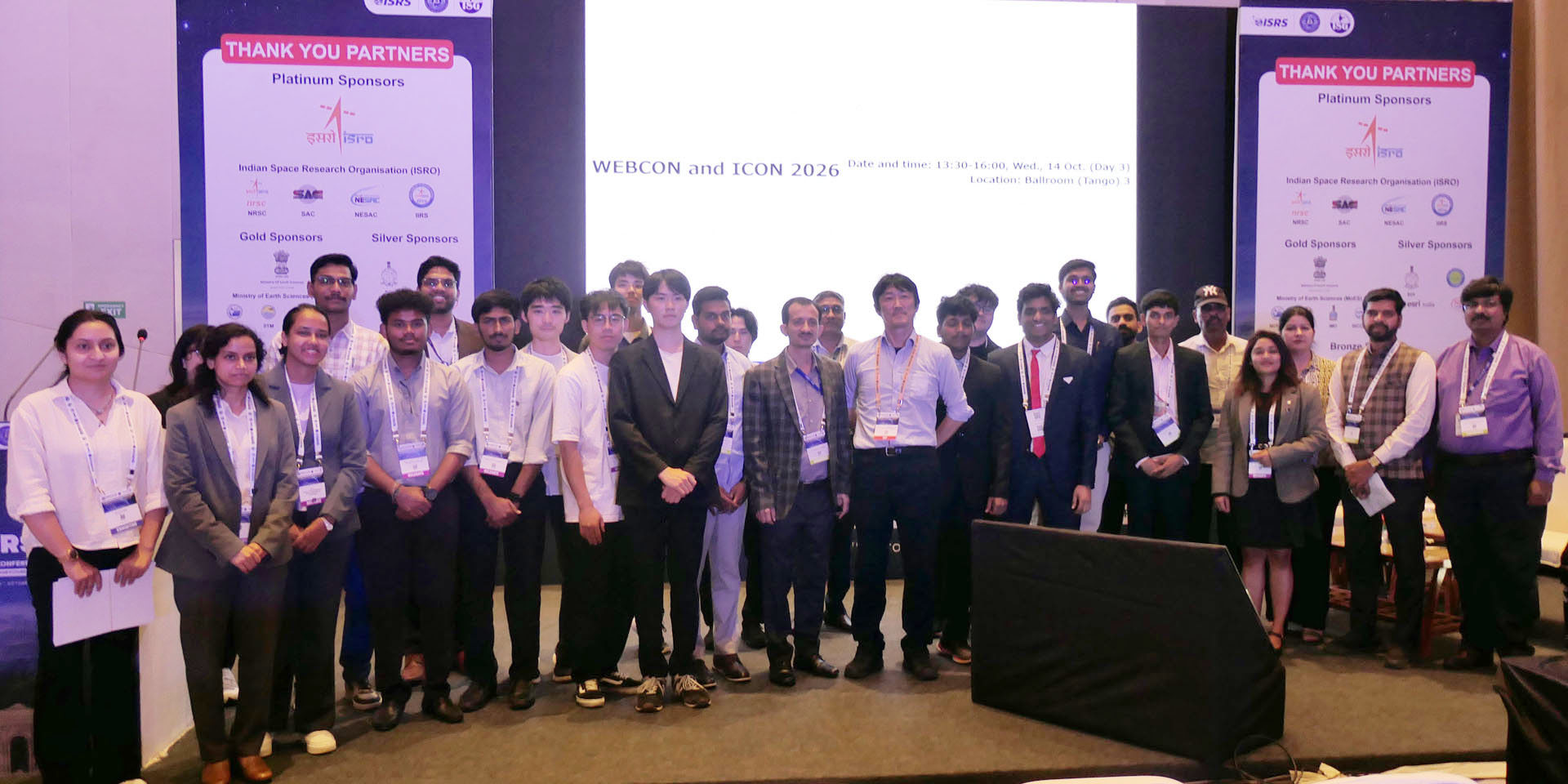
The 13th Web Contest (WEBCON13) and ISRS I-CON were successfully held on October 14, 2026, during the 47th Asian Conference on Remote Sensing (ACRS2026) in Dwarka, New Delhi, India. The primary objective of WEBCON is to encourage the development of web-based resources and the exchange of ideas related to geospatial information science, with the aim of inspiring future internet-based geospatial applications and services. A total of 14 entries were submitted for WEBCON and I-CON, with submissions from India, Sri Lanka, and Japan. Each team gave a brief presentation of its entry, followed by a 100-minute demonstration session in which teams showcased the usefulness and efficiency of their web-based resources to approximately 50 attendees. Of the 25 contestants from 14 registered teams, 20 contestants representing 10 teams demonstrated their entries during the session, while 11 reviewers and other attendees tested the applications. Based on the quality of the entries and the evaluation criteria established by the WEBCON13 and I-CON juries, the following entries were awarded the Gold, Silver, and Bronze prizes: Proposals:
AARS WEBCON AWARDS Gold Prize: USD 300 India - Abhishek Deepak Dahihande (National Remote Sensing Centre, ISRO, India), “A Web-Based Geospatial Flood Monitoring and Digital Twin Platform” Silver Prize: USD 200 Japan - Makoto Ishiwata, Amane Harada, Ren Itagaki (Shibaura Institute of Technology, Japan), “Squat Motion Coach” Bronze Prize: USD 100 India - Apurwa Chaurasia, Siddhartha Khare (Indian Institute of Technology Roorkee), “Forest Guard: A Multi-Source Toolkit for Forest Phenology Monitoring using Phenocam and Satellite Data” ISRS I-CON AWARDS Gold Prize: Rs. 25,000 India - Shiva Kumar Induri, M. Akhil Kumar (Jawaharlal Nehru Technological University, India), “CoolCity AI: A Scalable Open-Source GeoAI and WebGIS Architecture for Monitoring and Mitigating Urban Heat Islands” Silver Prize: Rs. 15,000 India - Nathin J (Indian Agricultural Research Institute, India), SoyET-Engine: A SAR-Optical Integrated Modified Penman-Monteith model for Field-Scale Soybean Evapotranspiration Estimation under Monsoon Conditions Bronze Prize: Rs. 10,000 India - Sampelli Anoop, Shivali Verma (National Remote Sensing Centre, ISRO, India), “SMAE: An Open Source Agentic AI System for Satellite Soil Moisture Analytics over India” The certificates and prizes were presented by Prof. Kohei Cho and Dr. Sameer Saran accompanied by Prof. Masafumi Nakagawa, Dr. Hitendra Padalia, and Mr. Arul Raj, during the closing ceremony of ACRS2026. 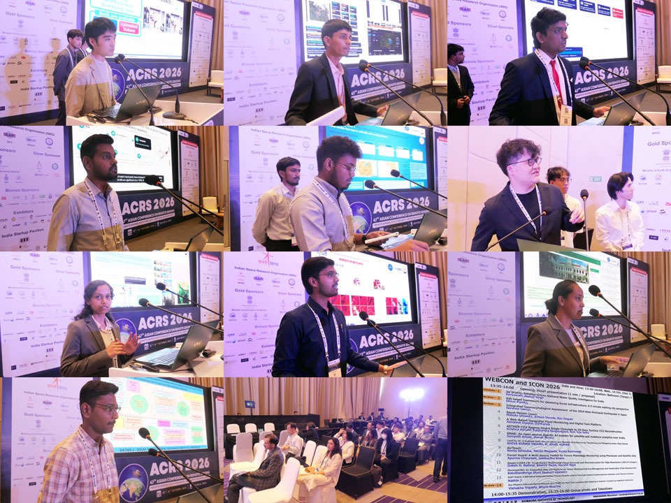 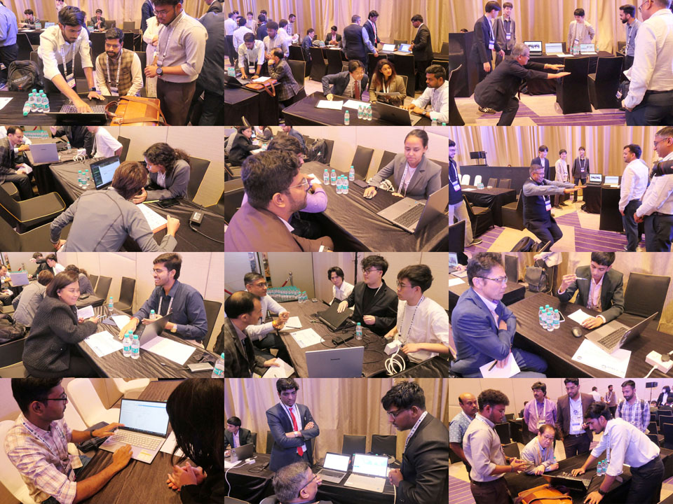 Student Night (Young Scholar Night) 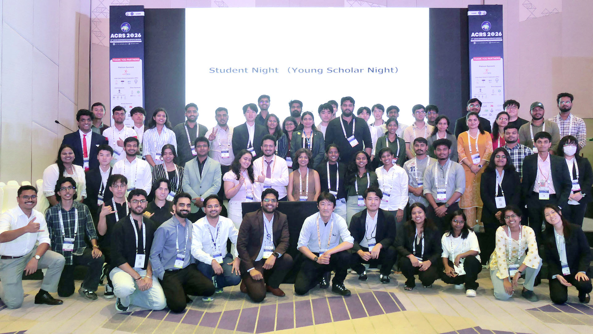 |
|||||||||||||||||||||||||||||||||||||||||||||||
| WEBCON 12 (2025) | |||||||||||||||||||||||||||||||||||||||||||||||
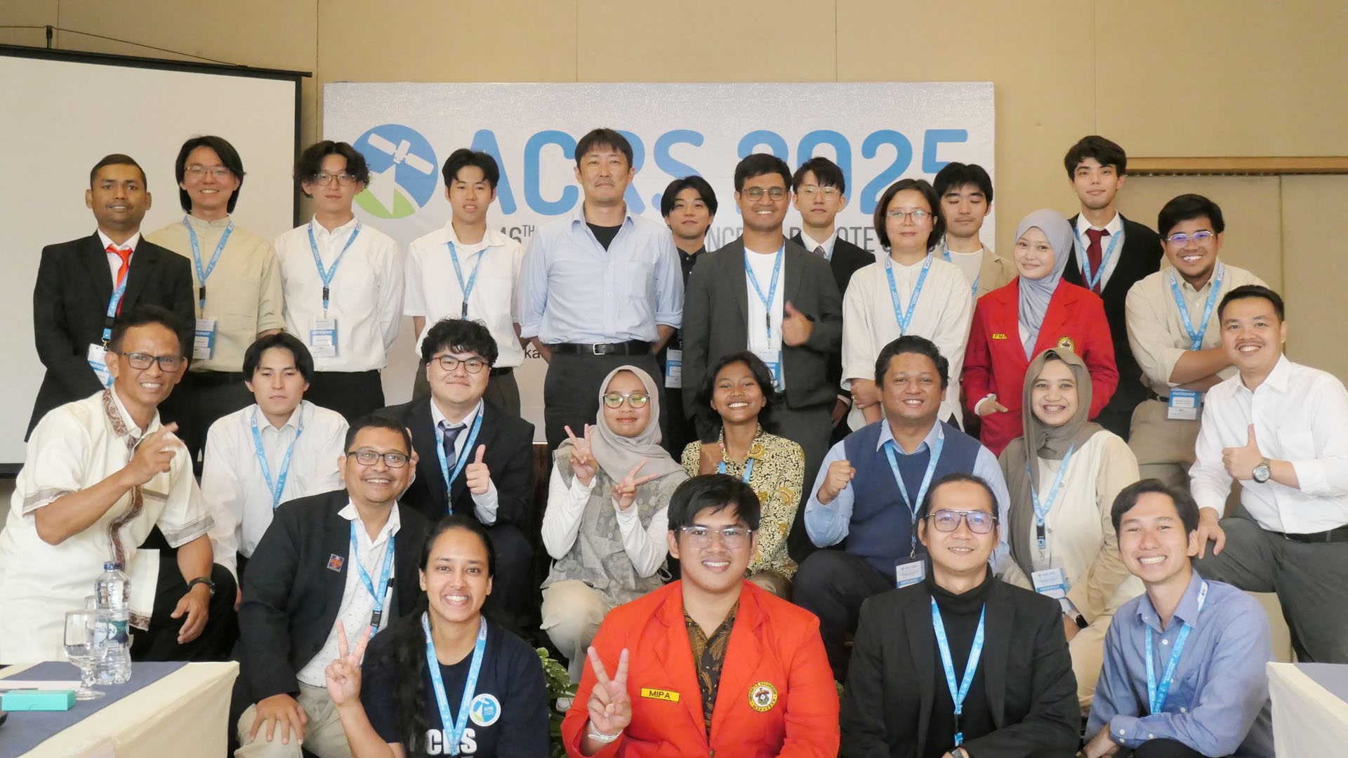
The 12th Web Contest, WEBCON12, was successfully organized at the 46th Asian Conference on Remote Sensing (ACRS2025) held in Makassar, Indonesia on October 30, 2025. The primary objective of WEBCON is to promote the development of web materials and the exchange of ideas related to the geospatial information sciences, which may be the initiative or vision of the future Internet-based geospatial applications and services. A total of 9 submissions were received for WEBCON12. The submissions came from Japan, Malaysia, China Taipei, and Indonesia. Each team briefly presented their entries and had 40 minutes to demonstrate the usefulness and efficiency of their web material to about 35 participants. A total of 17 participants demonstrated their entries during the session and 9 reviewers and other participants tested the applications. Based on the quality and criteria defined by the WEBCON12 jury, the following entries were awarded the Gold, Silver and Bronze prizes: Proposals:
Gold Prize: $300 USD Indonesia - Canny Maharani, Muh. Faqih Raihan, Herfiadi Reski Alviansyah (Hasanuddin University), “WebGIS-Based GeoAI Application for Agricultural Land Governance in Barru Regency, South Sulawesi, Indonesia” Silver Prize: $200 USD Malaysia - Cheah Wei Chee (Universiti Sains Malaysia), “EvacRoute: A Web-Based Evacuation Distance & Time Estimation Tool” Bronze Prize: $100 USD Japan - Tomoki Sugihara, Yusuke Eshima, Teruhiko Meguro (Shibaura Institute of Technology, Japan), “Location-based AR Art Sharing Platform” The certificates and prizes were presented by Prof. Kohei Cho accompanied by Prof. Masafumi Nakagawa, Dr. Ilham Alimuddin, and Dr. Andang Suryana Soma during the closing ceremony of ACRS2025. 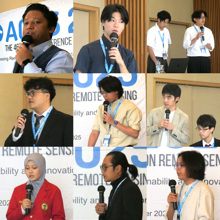 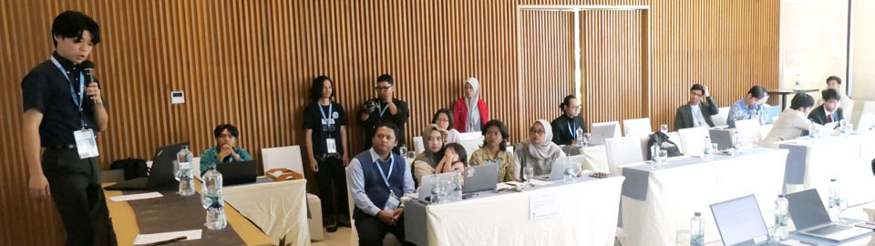 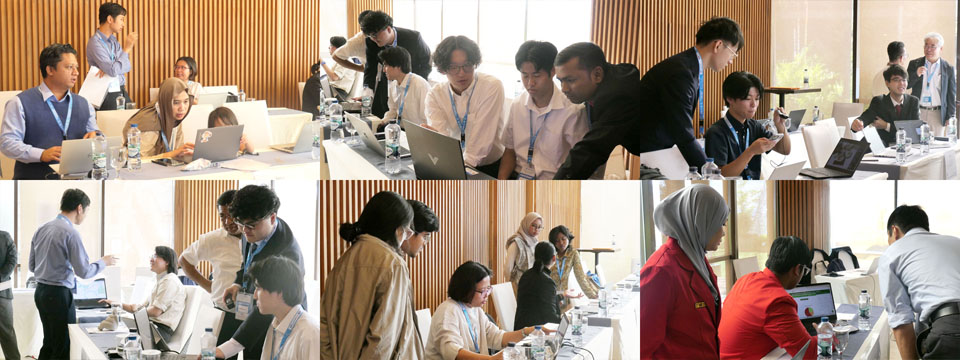 |
|||||||||||||||||||||||||||||||||||||||||||||||
| WEBCON 11 (2024) | |||||||||||||||||||||||||||||||||||||||||||||||
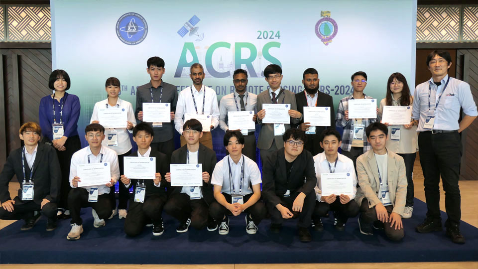
The 11th Web Contest, WEBCON11, was successfully organized at the 45th Asian Conference on Remote Sensing (ACRS2024) held in Sri Jayawardenepura Kotte, Sri Lanka on November 19, 2024. The primary objective of WEBCON is to promote the development of web materials and the exchange of ideas related to the geospatial information sciences, which may be the initiative or vision of the future Internet-based geospatial applications and services. A total of 8 submissions were received for WEBCON11. The submissions came from Sri Lanka, China Taipei, and Japan. Each team briefly presented their entries and had 90 minutes to demonstrate the usefulness and efficiency of their web material to about 50 participants. A total of 16 participants demonstrated their entries during the session and 14 reviewers and other participants tested the applications. Based on the quality and criteria defined by the WEBCON11 jury, the following entries were awarded the Gold, Silver and Bronze prizes: Proposals:
Gold Prize: Sri Lanka - Department of Civil Engineering, the University of Tokyo, Japan (Daranagama Arachchige Samitha Daranagama), 'Smartphone Application for Detecting and Visualizing Ganoderma Disease Stages in Oil Palm" Silver Prize: Sri Lanka - (M.F.M. Mafaz), "Using Open-Source Tools to Build a Sophisticated Spatial Application and Database - A Case Study on School Locator System" Bronze Prize(s): China-Taipei - National Defense University (Yu-Tong Sun, Yen-Ming Su, Yi-Song Zhang), "One Globe, Endless Check-ins" and Japan - Shibaura Institute of Technology (Tetsu Yamaguchi), "Smart trash box: Trash box management system using remote sensing technology" 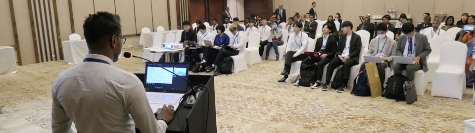 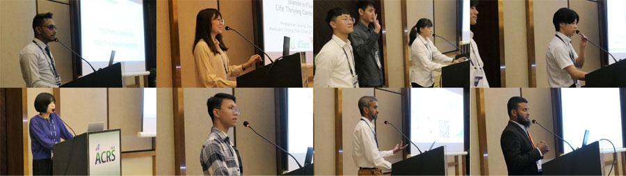 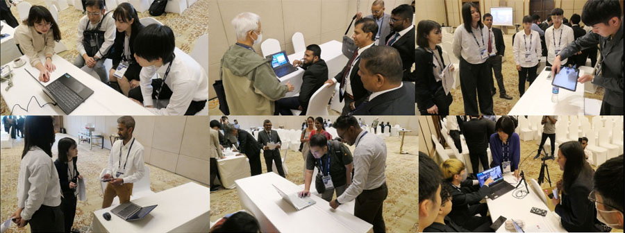 |
|||||||||||||||||||||||||||||||||||||||||||||||
| HISTORY of WEBCON (2011-2023) | |||||||||||||||||||||||||||||||||||||||||||||||
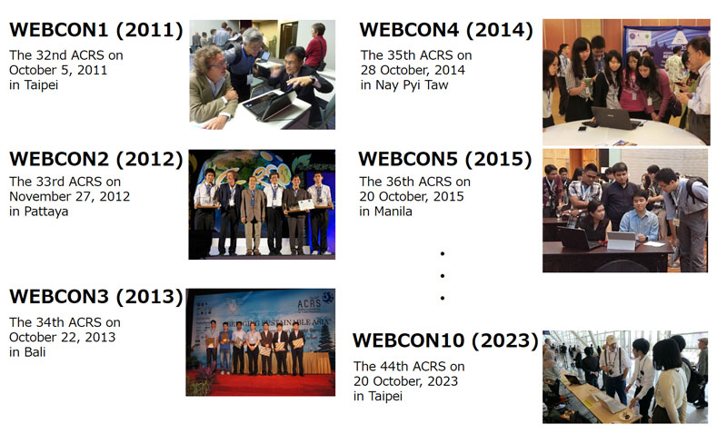 |
|||||||||||||||||||||||||||||||||||||||||||||||